This is a working guide to the best riding in Marin and Sonoma counties, from the singletrack
capital of the sport to the rolling wine country roads at the edge of town. It names the actual
trails and routes locals ride: where they are, what the terrain is like, how hard they cut, and
the North Bay shops and clubs that keep it all running.
Updated September 10, 2026·Sales Associate · 01702383 · California
Mountain biking
The trail systems that built the sport
Marin is where fat tires rolled down the fire roads first, and the dirt tradition still runs
deep across both counties. The list runs from the beginner singletrack at China Camp to the
technical rock country of Trione-Annadel and the ridge singletrack of Sonoma Mountain, with
the real access rules called out because they change trail to trail.
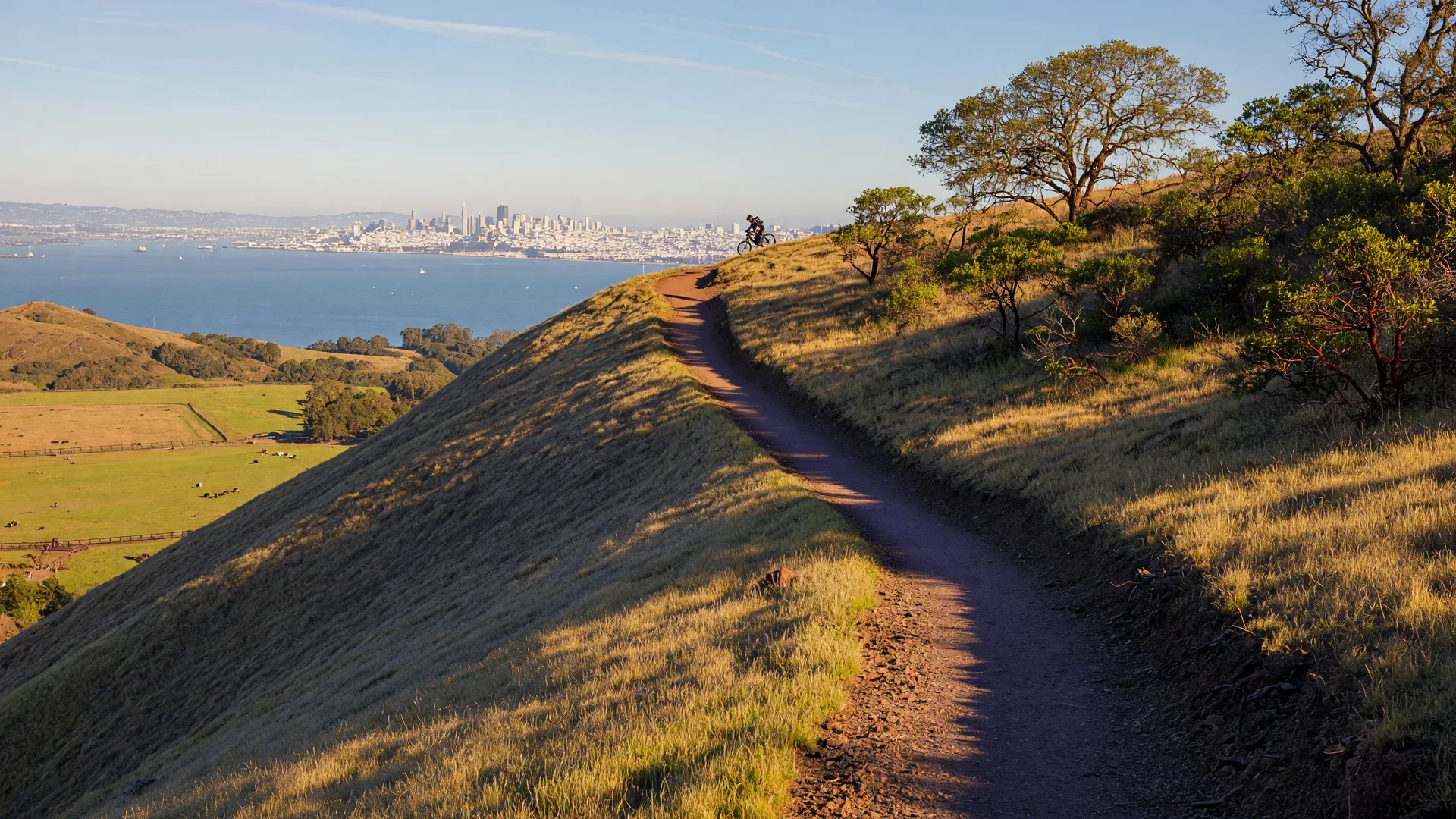
Sunset singletrack along a Marin ridge, exactly the light you get on most of the trails
below, all of them under an hour from Petaluma or Novato.
01
Mountain bike
China Camp State Park
The classic beginner-to-moderate singletrack school of the Bay Area: flat, fast trails at the edge of San Pablo Bay with loops up into the oak hills.
North San Pedro Road, San Rafael, minutes from Novato
Three kinds of ride in one park. The mostly flat Shoreline singletrack hugs the bay for roughly six miles and is the best beginner ride in the region. The Bayview Trail climbs above the water for sweeping bay views and pairs with Shoreline into a moderate, roughly seven-mile loop. Stronger riders link Bay Hills, Back Ranch, and the ridge fire road into a proper all-day loop through manzanita and oak.
Beginner friendly
Intermediate
Ridgeline loops
The park charges a per-vehicle trails day-use fee, and the trails are shared with hikers and equestrians, so ride smooth and call out.
The birthplace of mountain biking: classic fire-road climbing to the summit, plus an official singletrack network that is finally growing.
Marin Municipal Water District land, Fairfax to Mill Valley
The dirt roads of Mount Tam are where the sport was invented, and they are still the ride. Old Railroad Grade and the other watershed fire roads climb out of the foothill towns to the windswept summit for some of the biggest views in the Bay Area, while newly opened singletrack is adding trail-only miles to the map. Expect long climbs, cold coastal breeze, and layers: summer fog rolls over the ridge by midday.
Fire road classics
Summit climbs
New singletrack
Riding is limited to designated MMWD trails and the allowed list shifts over time, so read the current bike rules before you go.
A fast, hilly singletrack network on Boy Scout camp land above Fairfax: close, fun, and a perfect after-school loop.
Fairfax, on camp land behind the town
Tamarancho rides like a private little singletrack resort: a compact network of flowy, root-and-turn singletrack looping through the woods above Fairfax, small on the map and big on grin. Short, punchy climbs and fast descents make it the go-to when you want quality dirt without an all-day drive, and the system has its own official improvement plan, so it is built to stay good.
Flow singletracks
Quick loops
Fairfax gateway
The trails sit on Boy Scouts camp property and access is camp-managed, so confirm the current riding rules and gate hours first.
Sonoma County's technical rock gym in Santa Rosa: fast singletrack, steep gnar, and the famous Big Loop of the North Bay.
Eastern Santa Rosa, a short drive from the downtown
This is where Sonoma gets serious about dirt. South Burma is the locals' fast favorite, the Canyon Trail and Spring Creek climb through shaded woodland singletrack, and North Burma, Rough Go, and Cobblestone earn their reputations with steep, rocky, relentless trails. The benchmark ride is the big loop of roughly 15 to 16 miles, with a gentler entry of about 7 miles on the Canyon Trail to Spring Creek loop.
Technical
Intermediate to hard
Santa Rosa
The volcanic ridge turns slippery after rain and some trails close in the wet, so check the regional parks page before a stormy ride.
Long fire-road climbs and oak singletrack on the ridge that walls the Sonoma Valley from the west.
Glen Ellen to Santa Rosa, along the Sonoma Mountain ridge
Sonoma Mountain riding splits between two neighboring parks. Jack London State Historic Park covers the east flank from Glen Ellen with singletrack and fire roads like the Sonoma Mountain Trail and the Sonoma Ridge Trail climbing through oak and vineyard country. North Sonoma Mountain Regional Park is the west side gateway from Santa Rosa, with the North Sonoma Mountain and Umbrella Tree trails open to riders.
Climbing
Oak singletrack
Vineyard views
Trail rules differ park to park, and some singletrack here is hikers only, so confirm each park's current bike-legal list before you plan a loop.
The region's other great singletrack: roughly 35 miles of redwood trails under Skyline, worth the drive from the North Bay.
El Corte de Madera Creek Open Space Preserve, off Skyline Boulevard in San Mateo County
Riders know this area by the name of its famous Skyline Boulevard turnoff, but it is really the El Corte de Madera Creek Open Space Preserve, one of the great Bay Area mountain bike destinations. Ridgeline singletrack and steep canyon descents thread second-growth redwoods for about 35 miles of trails, with classic loops named for their legendary climbs. It is a day trip from the North Bay, but the whole dirt menu is worth the haul.
Redwoods
Steep descents
Worth the drive
The preserve enforces a 15 mph speed limit and is very well loved, so ride smooth and yield to every hiker and horseback rider.
The roads are where the big views and the quiet valleys do the work: dairy-country loops over
two ridges, the sudden wall out of Tomales Bay, and the vine-lined climbs of the Sonoma
valleys that turn a Saturday into a memory. Start early, carry a layer, and give the coast
wind the respect it earns.
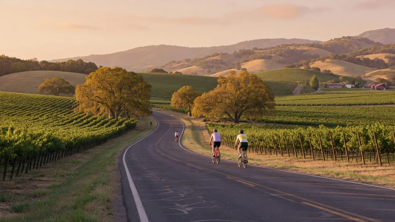
Vineyard country at golden hour. Most of the routes below end at a climb or a view exactly
like this one.
01
Road route
The West Marin Loop
The great rolling loop of West Marin: climb out of Fairfax, ride the Tomales Bay coast, and roll home over the dairy valleys.
Fairfax and the surrounding West Marin valleys
The defining day ride of Marin in either direction. From downtown Fairfax you climb over White Hill on Sir Francis Drake Boulevard into the Olema Valley, then follow Highway 1 along the far side of Tomales Bay through dairy ranch land before turning for home over the Nicasio and Lucas Valley ridges. Each valley rolls out in turn, with a horizon of ridges at every crest.
Rolling hills
Coastal views
West Marin
Highway 1 and the ridge roads are narrow and busy in summer, so start early, give big vehicles room, and dress for wind.
Two big ridge crossings to the lighthouse coast: the county's favorite way to really get to know West Marin.
Lucas Valley and Nicasio down to the Point Reyes coast
The Marin County Bicycle Coalition's route of record climbs over two ridges to the pastures of West Marin: up Lucas Valley Road and Nicasio Road, across the rolling dairy flats, then down toward the coast and out to the edge of the national seashore. Sustained climbs, huge open skies, and ranch country the entire way.
Big climbs
Two ridges
Classic
Start early: the ridge roads carry farm traffic all day, and the west wind builds by early afternoon.
A roughly 700-foot wall out of Tomales Bay that drops you into dairy country, the spine of weekend rides for Novato and Petaluma.
Marshall on Tomales Bay, heading to Petaluma
Marshall-Petaluma Road leaves the bay hamlet of Marshall and kicks straight into the steep, roughly 700-foot climb riders call the Marshall Wall, cresting the ridge above the bay on ramps that the Petaluma Wheelmen class at nine percent grades. Past the top, the road rolls the long grades of the Chileno Valley dairy country before it drops to Petaluma. Loop it with Highway 1 or make it a statement day by climbing more than Wilson Hill Road from the Valley side.
Steep climb
Dairy country
Novato / Petaluma
Morning from the bay is the calmer direction; the west wind builds by noon and the ramps deserve an easy gear.
Vineyard-hedged rollers and the county's famous named climbs: Dry Creek, Pine Flat, Highway 128, and Cavedale, a classic wine touring day.
Healdsburg, the Alexander Valley, Dry Creek Valley, and the Sonoma Valley
For pure wine country touring, start in the plaza towns and make your own loops. Dry Creek Road and Pine Flat Road climb out of the Healdsburg valley floor through vineyard rows with wineries at every corner; Highway 128 follows the Alexander Valley north; and Cavedale and Trinity provide the steep gradients of the Sonoma Valley sides. Further out, the county's big coastal climbs, King Ridge, Fort Ross, Coleman, and Skaggs Springs, push deep into the coastal hills, a real hill country of their own.
Vineyards
Rolling climbs
Healdsburg to Sonoma
These roads are narrow, often shy on shoulder, and busy in harvest season; ride predictably and let traffic pass.
Marin's boldest route: ocean rollers from Stinson up the coast past Tomales Bay and on toward Bodega Bay.
Highway 1 from Stinson Beach north through the coast
Our most famous coast road makes one long, unforgettable ride. It climbs north from Stinson past the Bolinas shoreline and the Olema Valley, traces the shores of Tomales Bay past the Point Reyes turnoff and Marshall, then crosses into the Sonoma Coast and on toward Bodega Bay and the Russian River beyond. The wind, the morning fog, and the biggest light on the coast are the stars of the show.
Coast
Climbing
Big views
Fog and wind build by mid-afternoon: start early, pack a shell and nutrition, and treat every blind corner with respect for traffic.
The shops below cover the county by town, from the Fairfax gateway to the wine country, and
they know the routes as well as they know the bikes. Pair the parts stops with the clubs and
planning sites underneath, and you have everything you need to ride like a local.
Fairfax
Sunshine Bicycle Center
A beloved Fairfax bike shop known for service, parts, and route advice for Marin riding.
For beta beyond this page, these are the sites locals keep on their home screens: the Marin
and Petaluma clubs with real group rides, the parks pages that carry current trail status, and
Trailforks for the live picture of every singletrack in the region.
The riding in this region crosses several different land managers, and every one of them
prints its own rules: State Parks, the Marin Municipal Water District, a Boy Scout camp,
regional open space, and the counties. Access, day-use fees, and rain closures vary park
to park, so treat the official page for your destination as the last word before every
first ride.
Check the specific site's rules. Hours,
fees, and seasonal closures differ by park, and some of the best riding sits behind a
per-vehicle day-use fee. Read the sign or the site before you unload.
Rain closes trails. The clay and volcanic
soil of these hills stay fragile when wet, and several networks close or dry slowly
after storms. Give a park a couple of dry days before you ride the single track.
The coast changes by the hour. The fog
burns off by late morning, but the afternoon wind is strong on every ridge road in
this guide, so start early and carry a lightweight layer.
Share the single track. Hikers and
horseback riders use these trails too. Ride slow on blind corners, yield to everyone
you meet, and respect the posted speed limits of each preserve.
The trails at your door are part of the house.
When a buyer tells me they ride, I show them the trail that starts near their new front door
and the loop that becomes their Saturday ritual. If you are weighing Petaluma against Novato,
or West Marin against the vine hills, these routes are part of the equation, and I know them
all.